Our Waters
The bullet points below describe the fishing available to members, at a high level, starting from the top of the river system and working downstream. Far more detail is available to members in the members’ only section of this website, including precise boundaries, parking places and likely fish lies. MEMBERS , please go to the Member's page for precise details, do not rely on the information below for boundaries.
Note that double bank is counted twice in the figures that follow, ie as you can fish it from both banks one metre of river counts as two metres of bank from which to fish.
The areas we fish regularly equate to approximately 13km, or 8 miles, of bank (this figure excludes lengths in italics below). There is about another 2km that could be fished.
We are lucky that there are virtually no footpaths running along the banks we fish.
The details are:
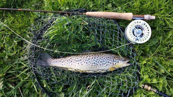
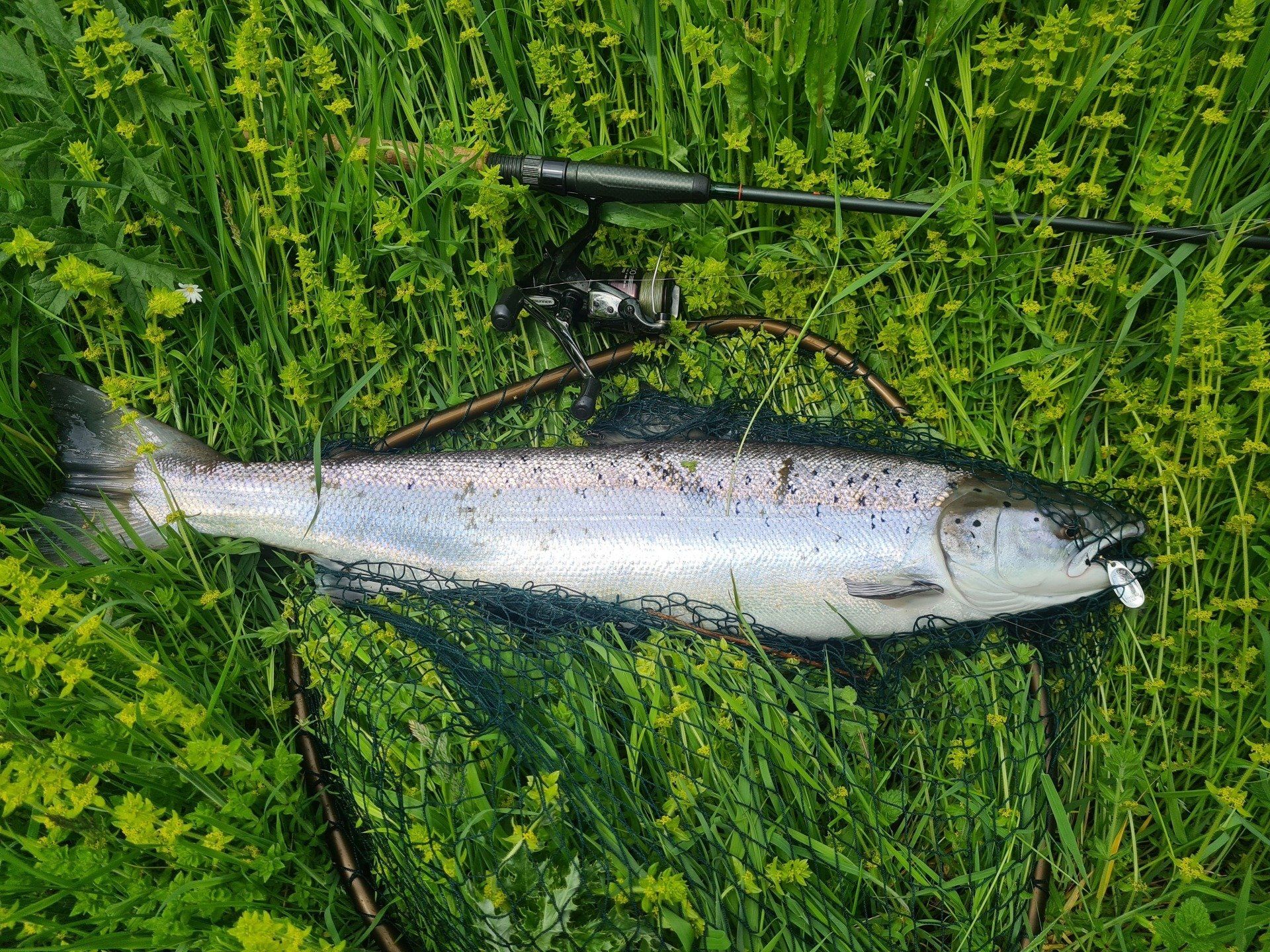
- 1,200m of right hand bank above Danby Weir. The weir is a serious obstacle to fish passage but there is a reasonable stock of brown trout. Fishing is not allowed around the weir
- 1,400m of double bank downstream of Danby Weir (starting at the rail bridge). We only acquired the lease in 2016. Fish are reportedly in this part of the river after the first May (or later) flood. Useful water if there has been heavy rain downstream but not at the top of the river system. There are also brown trout here
- Left hand bank of Mill Wood itself. This is a wooded pool - hard to reach but worth the effort, particularly on a bright day. Its length is recorded in with the rest of the Egton water in the next but one bullet point. Note that we can no longer fish 900m of left hand bank above Mill Wood.
- Left hand bank from William's Dam down to the free stretch at Beggar's Bridge - nice fly water. Its length is recorded in with the rest of the Egton water mentioned in the next bullet point
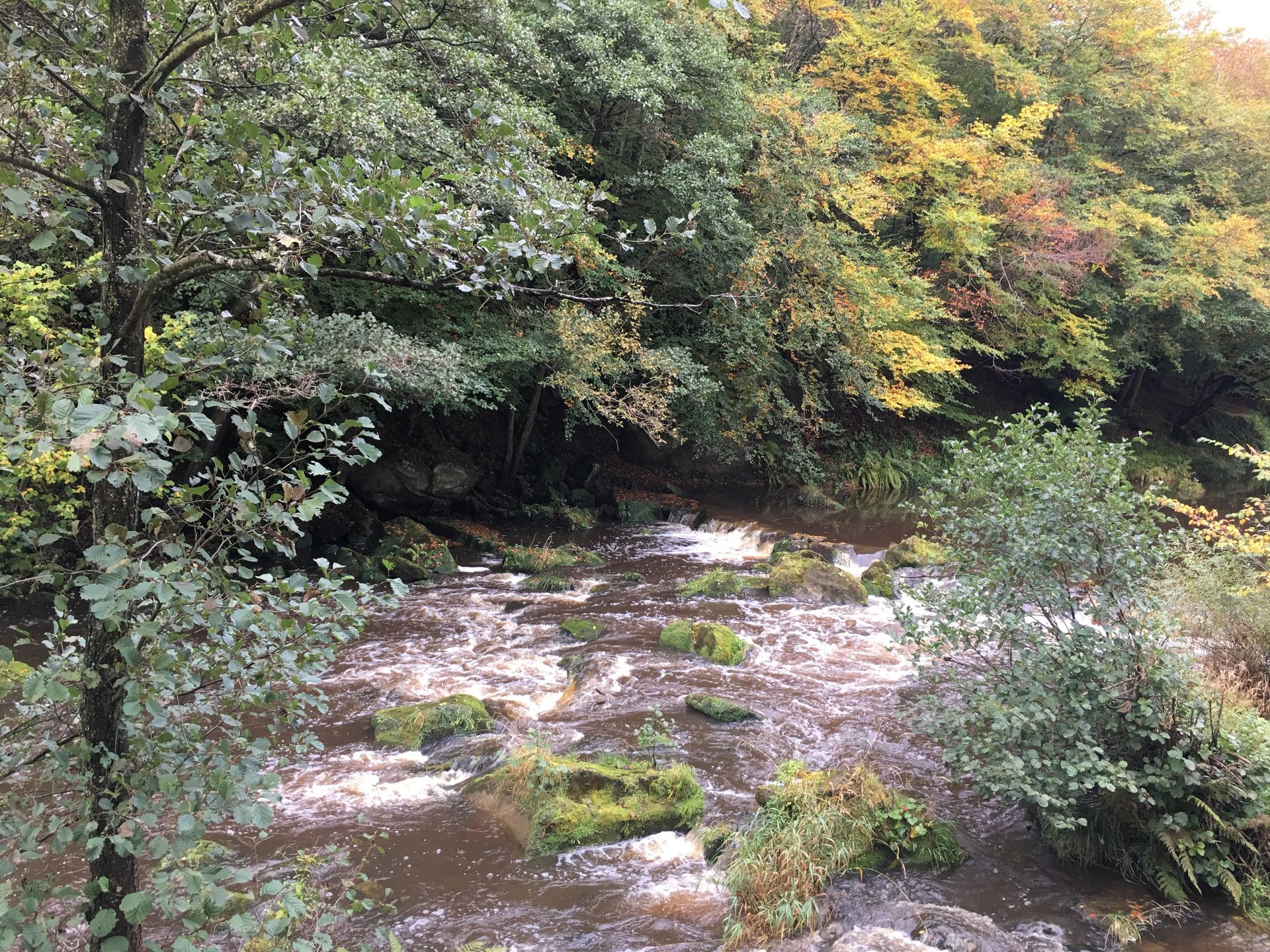
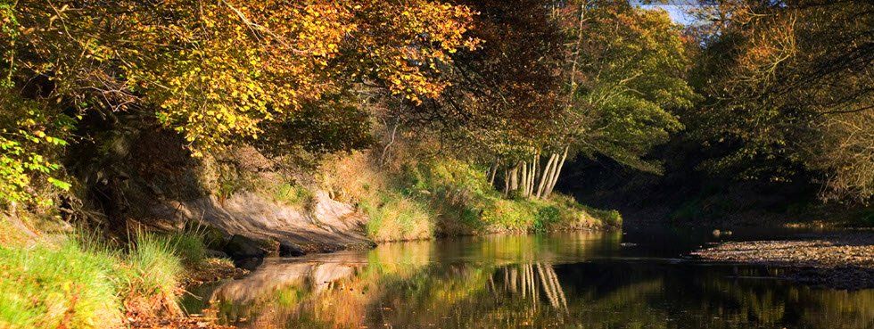
- 4,800m of mainly both banks down from Beggar's Bridge to Egton Dam. Excellent fishing including some wonderfully broken pocket water – great fly country
- 150m at the Murk Esk Confluence. Access to a useful but under fished spot where fish intending to run the Murk Esk will move through
- 7,500m of mostly bouble bank from The Toll road down to well below Grosmont. The river is wider here, as much of this stretch is below the point where the Murk Esk joins teh main river, just above Grosmont bridge. Some excellent fishing
- 2,200m of double bank from Iburndale Beck to the County Road Bridge. We own the freehold of this water but allow boat hire business at Ruswarp to sell day tickets on this water as there is limited bank access and the stretch is very flat. We still have access to fish. If you want to try, you are recommended to hire a boat, making yourself known as a member of the Association
- County Road Bridge to the old mouth of Whitby Harbour. We own the right to fish this stretch of water but have not been able to register our title. Fishing this water is in any event banned by the Tideway Byelaw – a measure we approve of as people were snagging salmon and sea trout while “spinning for mackerel”